New Google Maps images reveal massive scale of devastation in Gaza
AI Summary
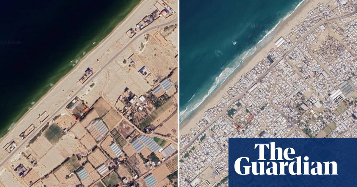
Updated Google Maps satellite imagery shows extensive destruction of homes, businesses, places of worship, and infrastructure in Gaza after years of war. The images, taken in June, also illustrate the ongoing humanitarian crisis affecting the territory’s 2.3 million residents despite a fragile ceasefire.
Satellite imagery shows further destruction of homes, businesses and places of worship since fragile ceasefire An update to Google Maps has revealed the extent of devastation during the three-year Gaza war and the severity of the continuing humanitarian crisis faced by the territory’s 2.3 million inhabitants. The images were taken in June this year and show further destruction of homes, businesses, places of worship and infrastructure since a fragile ceasefire came into effect almost 12 months ago. Continue reading...